
A significant weather event is on the horizon for the Azores as the Portuguese Institute of the Sea and Atmosphere (IPMA) has issued a warning regarding Depression GAROE. This depression, accompanied by a frontal system, is expected to bring heavy rainfall and strong winds to the archipelago starting January 18, 2025.
Key Facts
- Depression GAROE is forecasted to be centered approximately 790 km northwest of the Western Group of the Azores.
- Heavy rainfall and wind gusts up to 110 km/h are anticipated.
- Significant wave heights could reach up to 9 meters in some areas.
Overview of Depression GAROE
The IPMA has officially named the weather system Depression GAROE, which is projected to affect the Azores from the evening of January 18. T
As Depression GAROE moves closer, heavy rain is expected across the archipelago, with the potential for localized flooding. Winds will initially blow from the southwest, shifting to the north, with gusts reaching up to 110 km/h in the Western Group
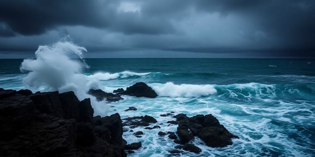
For ocian-goers, the sea will become increasingly agitated, with wave heights forecasted to be 7 to 9 meters in the Western Group
Safety Recommendations
Residents and visitors in the Azores are advised to take precautions and regularly check updates from the IPMA regarding the evolving weather situation and avoid travel if possible.
The IPMA will continue to monitor the situation and provide updates as necessary. Stay safe and heed all warnings issued by local authorities.